Ontario satellite images do not prove intentionally started wildfires
- Published on July 30, 2026 at 23:21
- 5 min read
- By Gwen Roley, AFP Canada
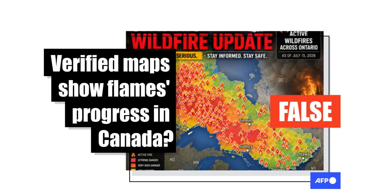
Conspiratorial social media posts are pointing to satellite footage of the first large burst of Canadian wildfires in 2026, claiming the way the blazes lit up is evidence that they were set deliberately and all at once. But most of the fires have been attributed to natural causes such as lightning, according to experts and public data, and they exploded in part due to hot, windy conditions.
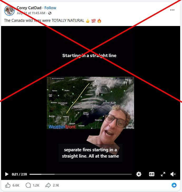
"This is the fire that brought us all of that smoke last week... Arson. Straight up, arson," says the caption on a July 22, 2026 Facebook video, which shows satellite footage of Ontario capturing several large smoke clouds seemingly expanding in unison.
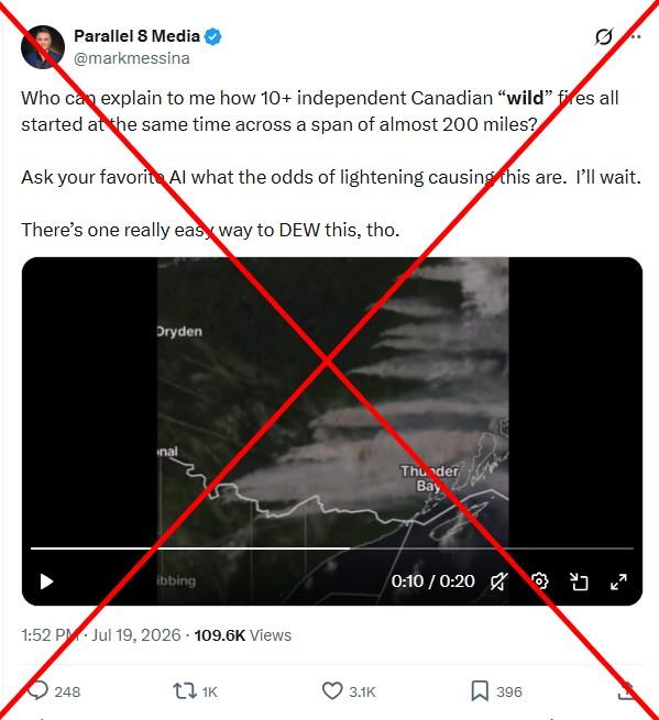
Similar posts shared identical satellite footage across Facebook, Instagram, Threads and X as powerful wildfires spread through northwest Ontario in mid-July, prompting evacuations.
Some posts suggested the apparently synchronized movement of the fires proved they were sparked intentionally. Others theorized they were ignited using high-energy lasers known as directed energy weapons (DEW) and to facilitate "land grabs," echoing conspiracy theories AFP has routinely debunked (archived here).
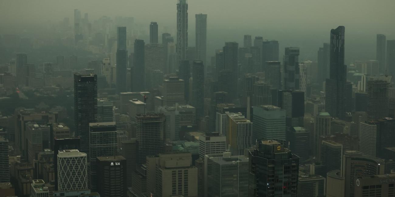
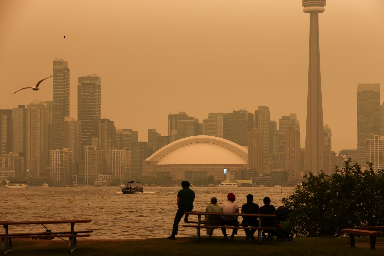
Prime Minister Mark Carney said July 18 that the 2026 wildfire season was one of the "most intense" in Canada's history, with nearly 1,000 active fires at the time (archived here). The large mid-July fires in Ontario released huge amounts of smoke that blanketed swaths of Canada and the US East Coast.
AFP has debunked several claims related to the flames' spread, including posts falsely asserting that the fires were ignited by DEW. Experts said these theories were "not based on facts" and that any sort of operation using the technology would be highly visible if used to start a fire.
There is no evidence from the satellite footage that the fires were intentionally ignited, either.
The fires depicted in the footage appear to have been started by lightning, Thompson Rivers University fire scientist Mike Flannigan told AFP in a July 27 email (archived here).
Volatile conditions
Many of the posts include the logo for the meteorological software company WeatherFront, which originally shared the satellite footage to social media on July 14 -- without any mention of intentionally started fires (archived here). AFP reached out to WeatherFront about the claims, but no response was forthcoming.
The timestamp in the video indicates it was captured July 13 between 12 pm and 8 pm CT (1700 and 0100 GMT).
The Cooperative Institute for Research in the Atmosphere at Colorado State University shared similar satellite footage of the Great Lakes region (archived here).
Historical data from Blitzortung, which records real-time thunderstorm information, shows several clusters of lightning strikes over the same section of Ontario portrayed in WeatherFront's satellite footage in the days leading up to July 13 (archived here).
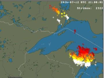
Liam Buchart, a fire weather specialist at the Canadian Forest Service, said that while their remote nature made it difficult to determine a cause, the fires in the satellite footage were likely triggered by lightning (archived here).
He told AFP the weather leading up to July 13 -- an extended period of heat and drought, punctuated by the lighting strikes -- primed the area for the explosion of wildfires. The conditions allowed lightning-impacted forest matter to smolder for many days.
"After this, a cold front passage allowed for these fires to transition from smoldering to an active flame," he said in a July 28 email. "The hot, dry, and windy weather allowed for fires to quickly grow and become extreme over a short time."
Canadian Interagency Forest Fire Centre data indicates that as of July 30, most of the wildfires that appeared in the satellite footage misrepresented online -- highlighted by AFP in the green box below -- were naturally caused, with only three sparked by human activity (archived here, here and here).
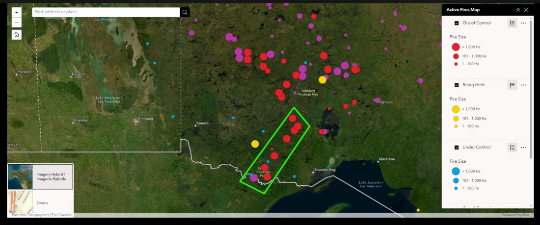
Wildfire information officers previously explained to AFP that lightning is the most typical natural cause, while human-caused fires can be accidental, intentional, or from an act of negligence.
Higher temperatures due to human emissions have likely extended fire seasons and their coverage in Canada (archived here and here). Scientists agree that hotter weather and moisture deficits result in greater fire activity (archived here).
In 2023, AFP debunked similar arson claims citing satellite footage of wildfires in Quebec province which were also ruled to be caused by lightning.
Read more of AFP's reporting on misinformation about wildfires here.
Copyright © AFP 2017-2026. Any commercial use of this content requires a subscription. Click here to find out more.
Is there content that you would like AFP to fact-check? Get in touch.
Contact us