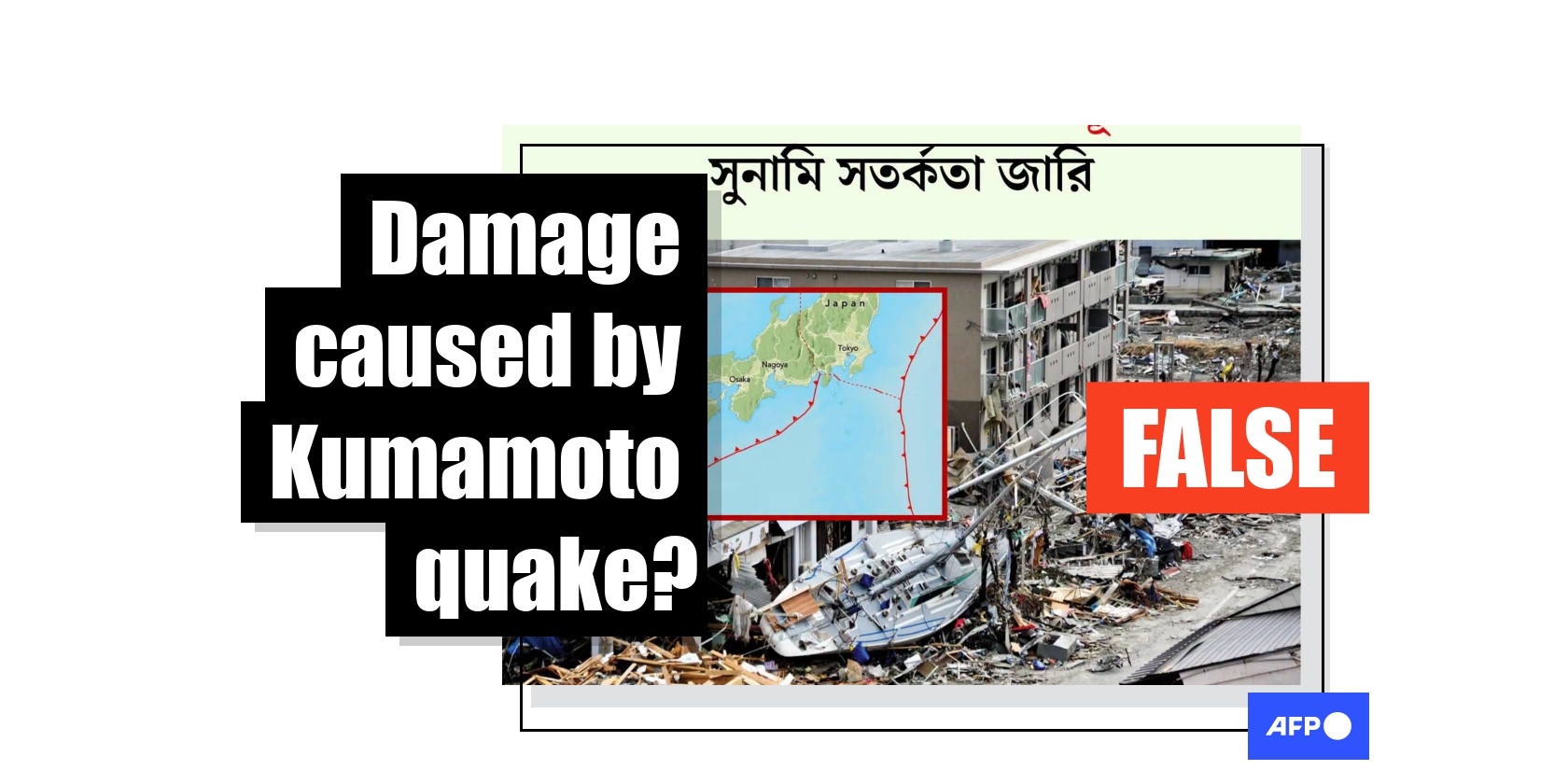
Old Japan earthquake photo misrepresented as aftermath of July 2026 tremor
- Published on August 4, 2026 at 10:44
- 2 min read
- By Rasheek MUJIB, AFP Bangladesh
The 7.1-magnitude earthquake that rattled Japan's Kumamoto prefecture in July 2026 killed dozens and caused widespread damage, but an image circulating on social media that claims to show the tremor's aftermath is from 15 years earlier. The photo, showing a sailing yacht washed up onto shore and resting against damaged buildings, was taken after the devastating earthquake and tsunami that struck Japan in March 2011.
"Massive 7.1-magnitude earthquake hits Japan; tsunami warning issued," says Bengali-language text on a Facebook graphic shared on July 28, 2026.
The graphic features a photo of the wrecked yacht, and a map laid over the top-left corner appears to show where the earthquake struck on Japan's southern Kyushu island.
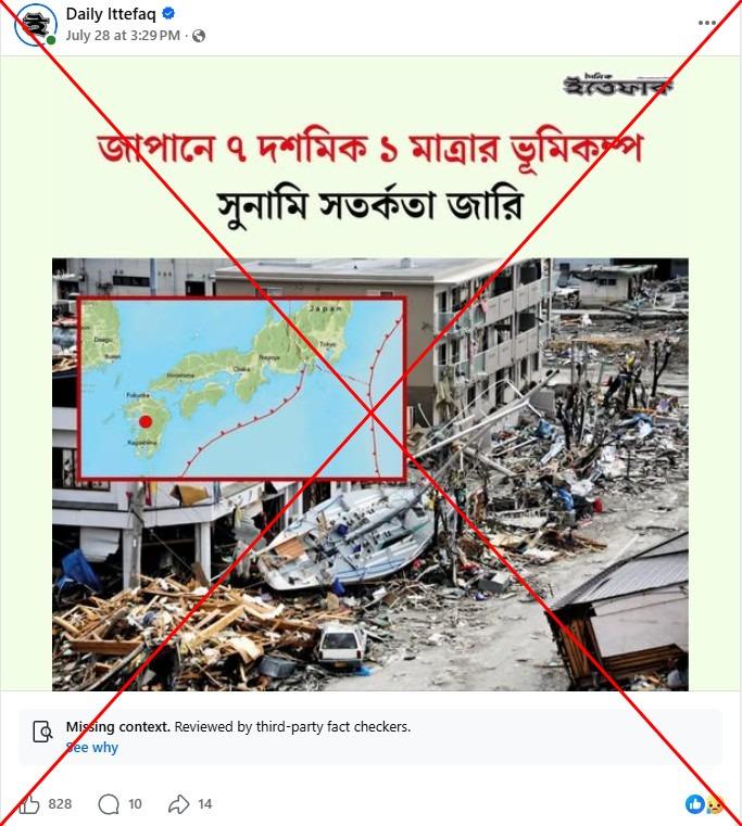
The same graphic was also shared in similar Facebook posts, while the photo was used on its own in English-language news reports.
It circulated after the July 28 quake, which caused widespread damage in the sweltering southwestern region, flattening homes, damaging bridges and triggering fires (archived link).
At least 34 people were killed, while thousands were forced into evacuation centres and thousands more households were left without power and water (archived link). An explosion at the Aeon Mall Kumamoto following the powerful earthquake killed seven people (archived link).
Japan is one of the world's most seismically active countries, sitting on top of four major tectonic plates along the western edge of the Pacific "Ring of Fire". Kumamoto itself was hit by two devastating earthquakes in 2016, which killed 273 people and injured more than 2,800.
But the photo circulating on social media does not show the impact of the latest quake.
2011 disaster
A reverse image search on Google led to the same photo posted on the Wikimedia Commons website, a database free for public use (archived link).
The photo's description says it was taken in the city of Ofunato on the main island Honshu on March 15, 2011, and was credited to the US Navy Mass Communication Specialist 1st Class Matthew M. Bradley.
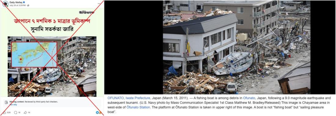
AFP photographer Toshifumi Kitamura captured a similar photo on the same day.
They were taken in the days after northeastern Japan was rocked by a 9.0-magnitude earthquake, a deadly tsunami and a nuclear meltdown on March 11, 2011 (archived link).
Around 18,500 people were killed or left missing in the disaster, most of them claimed by the towering waves triggered by one of the strongest quakes ever recorded.
The ensuing nuclear meltdown at the Fukushima Daiichi nuclear plant blanketed nearby areas with radiation, rendering some towns uninhabitable for years and displacing tens of thousands of residents.
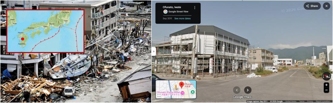
The circulating photo corresponds to Google Street View imagery of Ofunato taken in September 2011.
AFP has debunked other false claims about the July 2026 earthquake.
Copyright © AFP 2017-2026. Any commercial use of this content requires a subscription. Click here to find out more.
Is there content that you would like AFP to fact-check? Get in touch.
Contact us