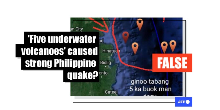
Posts falsely link 'five undersea volcanoes' to earthquake in southern Philippines
- This article is more than two years old.
- Published on March 22, 2024 at 09:42
- 2 min read
- By Ara EUGENIO, AFP Philippines
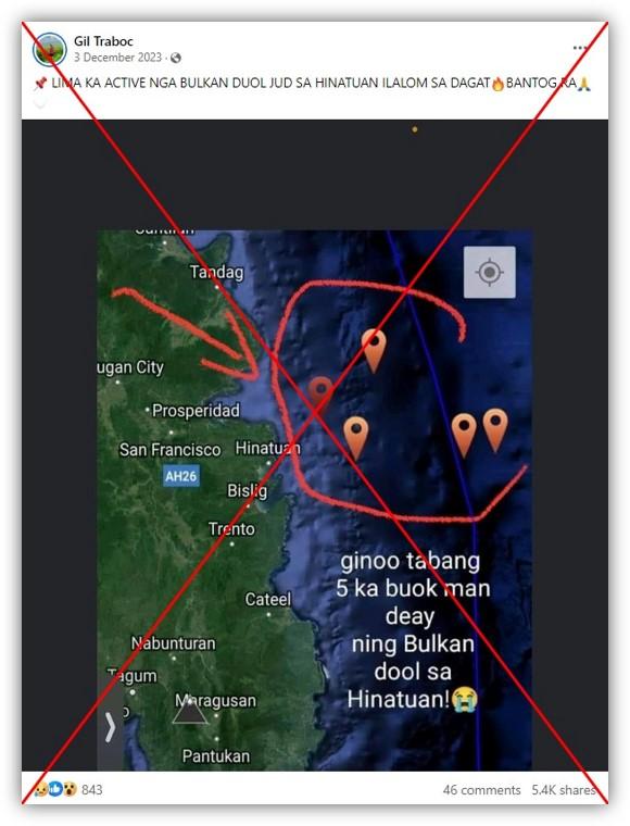
"There are five active volcanoes near Hinatuan under the sea, that’s why," reads the Visayan-language caption to a map posted on Facebook here on December 3, 2023.
The map -- shared more than 5,000 times -- purported to highlight five "active volcanoes" off Hinatuan, a town in the southern Philippine province of Surigao del Sur.
The text superimposed on the map translates as: "Lord help us, there are apparently five volcanoes near Hinatuan!"
Hinatuan is about 30 kilometres (18 miles) from the epicentre of a magnitude 7.6 earthquake that struck the Philippines on December 2, 2023.
At least three people were killed and eight others injured by the quake. Its aftershocks exceeded magnitude 6.0 and briefly triggered tsunami warnings.
The same image was shared alongside a similar false claim elsewhere on Facebook here, here and here.
But a representative for the Philippine Institute of Volcanology and Seismology (Phivolcs) -- a government agency that provides information on earthquakes and volcanic eruptions -- told AFP on March 19, 2024 the posts had "no scientific basis".
'No active volcanoes'
Phivolcs said there were no active underwater volcanoes near Hinatuan, adding it would be "impossible" for volcanoes to form near an active trench (archived link).
"The pronouncement on the post is false", it said in an email.
It added that the earthquake on December 2, 2023 "was due to the movement of the Philippine Trench."
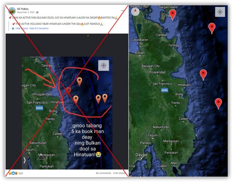
AFP could not find the source for the map used in the false posts. However, it corresponds with imagery on My Earthquake Alerts, a mobile monitoring application (archived link).
Below is a screenshot comparison between the map in the false posts (left) and the satellite view on My Earthquake Alerts (right):
Geologist Likha Minimo, a director at the University of the Philippines Resilience Institute, told AFP on March 18, 2024 that the map used in the false posts does not show verified locations of active volcanoes.
She pointed out that Phivolcs assesses whether a volcano -- which can also trigger earthquakes due to moving magma and volcanic fluids -- is active (archived link).
"When they include a volcano in the active list, that means there is a verified record of eruption or radiometric dating of eruptive materials," she said. "As far as we know, there's none for that area."
Phivolcs has noted the nearest active volcano to Hinatuan is the Leonard Kniaseff Volcano, approximately 110 kilometres (68 miles) south of the town (archived link).
Misinformation often surfaces following natural disasters in the Philippines, which is regularly rocked by earthquakes due to its location on the Pacific "Ring of Fire", an arc of intense seismic activity that stretches from Japan through Southeast Asia and across the Pacific basin.
AFP has previously debunked false posts about disasters in the archipelago nation here, here, here and here.
Copyright © AFP 2017-2026. Any commercial use of this content requires a subscription. Click here to find out more.
Is there content that you would like AFP to fact-check? Get in touch.
Contact us